Thursday, August 19, 2010

A Trip on the Royal Gorge Railroad

Mom loves trains. For a long time she has wanted to ride one of the scenic trains in Colorado, and this week before Seth heads off to school we took a morning off and drove about 90 minutes south to Canyon City to ride the Royal Gorge Railroad. According to a sign in town the Royal Gorge is one of the most visited sites in Colorado. The Arkansas River flows through the Royal Gorge, and the train follows the river through the gorge. There is a big suspension bridge over the gorge, and you can also see the gorge via tram. The train ride is about 28 miles one-way, but you go up and back. The train has locomotives on both ends and it just reverses for the return trip. Our tickets gave us assigned seats, but the train was nearly empty, and we could have sat almost anywhere. There is also an observation car that is open air, and where I spent most of the time because I could see better. The train doesn't go very fast; I would guess about 15-20 miles per hour.

Here is the train at the Canyon City station where we boarded


Pretty scenery in the gorge

In the first 10 miles there is this 30inch redwood pipe that was built in the late 1800's to bring water to the city. It was taken out of service in the 1970's. It looks to have been built like a wooden barrel except it is 8 miles long or so


A view of the Royal Gorge Bridge from the train. I'm not sure if cars can drive across or if it is only for pedestrians. Either way, you can be you have to pay to cross.

Hanging out in the observation car

The canyon gets pretty narrow. We are stopped just past the bridge for someone to get on or off; I'm not exactly sure

Some fun pictures of Mom


Later than night Seth attended his last Mutual activity (he leaves for BYU next Tuesday). It was a Scout Court of Honor but it included an Eagle presentation. Seth was sitting in the "Eagle's Roost" and it was probably the last time he'll wear that uniform as well.

Friday, August 13, 2010

Peru Day Three: From the Andes to the Jungle

On Wednesday we loaded up our busses at 7pm and drove about two hours to Ollotaytambo, where the Inka fortress was that we went to on Monday. Just below the fortress is a train station where we boarded and traveled another two hours. Our course followed a river that descended into a canyon from about 12,000 ft about sea level to 7,000 ft above sea level. As we travelled the landscape changed from the Andean mountains into a jungle. Our destination was Aguas Calientes. At Aguas Calientes we boarded yet another bus and drove 20 minutes to Machu Picchu, and highlight of our four day tour in the regions around Cusco. Our group of approximately 40 people was divided into smaller groups of 10. My little group picked the guide who wanted people wanted to hike. Nillo lead us high up on the western terrances of Machu Picchu where we were treated to amazing aerial views of the ancient village. According to our guide Machu Picchu was one of the few Inka settlements that was not razed by the Spanish conquerers, and so has remained intact from when the settlement was abandoned by its original inhabitants. Machu Picchu sits on a ridge above almost verticle cliffs. The terrances were used both as retaining walls and for growing crops. We walked around looking at the various interesting buildings and artifacts for about four hours. Our guide was very knowledgable about the history as far as archeologists are able to guess.

This is the view of the Peruvian Andes through our bus window travelling from Cusco to Ollotaytambo.


Our "Vista Dome" train at the Ollotaytambo station.

Following the river. This river has to be one of the great kayaking rivers in the world. It is about 70 miles of class two, three, four, and five + rapids.

On the train-ride down the canyon we had a couple spectacular views of mountains that were over 17,000 feet high.

Everyone in our train car were AMCIS conference attendees so we had lots of great opportunites to network.

Someone has a sweet little spot on the river. I'd hate to be there during flood times though.
A fun shot out the window. I saw the tunnel coming and took a quick picture; the focal point should have been the tunnel, but I really didn't have a lot of time to set up the shot, nor was I looking through the view-finder!

On the way down our train stopped on a spur to let another train pass. I guess it is a regular occurence because this little old lady came by trying to sell her flowers to people through the train windows. I didn't want the flowers, but I gave her a couple of solises. I showed her the coin and she took her hat off and I dropped the coin into her hat.

I took this shot as we were pulling into the town of Aquas Calientes. There are hot springs there, and I'm guessing that this little stream might have warm water; hence this woman doing her laundry in the stream.

One of my first pictures of Machu Picchu.

This picture was taken high on the southern terraces looking down on the villiage. Notice the steep drop-off.

This view shows the relative height of each terrace, and how high we were.

This is one of my favorite pictures but it looks totally fake, like I am at REI and grabbed a backpack off the shelf and am standing in front of a big poster or something.

I love doorway pictures for some reason. The Inka doorways are always trapazoidal.


If you were an Inka mommy, would you let your kids play on these steps? In the background in the distance are the terraces where I took some of the earlier pictures.

The building is original, the roof is a reconstruction

Towards the end of our visit I spotted this chinchilla (a South American rodent) sitting on one of the walls. Like the guinea pig, the chinchilla is considered a Peruvian delicacy.


Another fun doorway picture

Machu Picchu looking southwest showing how extensive some of the terraces are.

This little doorway was a tight squeeze


Machu Picchu in the setting sun (and failing light)


The end of an amazing tour, but not the day. See below for more details.
By the time we got back on the train it was dark. The train ride back up the canyon was uneventful, but the bus ride home will always be memorable. Our bus driver didn't know how to work the dashboard controls, so as we drove the windows all fogged up inside, including the windshield. When an oncoming car would approach we were literally blind. Imagine if you were we are in a bus going much faster than it appeared to be safe (think Mr. Toad's Wild Ride), on winding one-way mountain roads crossing the Andeas, punctuated with brief periods where the driver is blind. Occasionally our driver would stop and wipe the windshield with rag, which didn't appear to help much. Happily we arrived safely back to the hotel, which I am sure is far more the result of heavenly intervention than our driver's courage or skill.

Thursday, August 12, 2010

Cusco City and Surrounding Area

On our second day in Cusco, we had the morning off to recover from our long previous day, so after breakfast my colleague Brand and I wandered around the city near our hotel to see what we could see. Lots of buildings here are made of adobe (can you say adobe? "ah doh bee"). Wandering around an alley I saw this exposed wall that showed the painted clay fresco, and the eroding bricks (filled with straw) underneath.


Next we visited a Catholic convent built over the site of an Inka ruin. Inside there were some Inka walls, but what caught my eye was this bronze copper relief. I love how the guides tell about all the theories that (us) scholars have about what pictures mean, but in my head I thought saw something on this relief that might just have a different interpretation than what I heard on the tour. See the two guys standing next to a roundish thing that maybe could be a pool of water? And then there is this straight "rod" leading past a tree? And then there is the cross pattern that our guide said represented a planted field, maby it is a building? Sound familiar? What do you think?

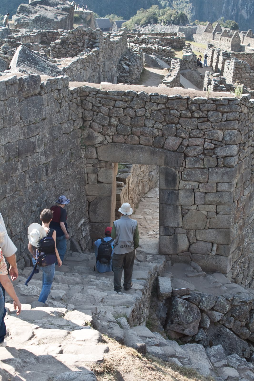
Our next stop was a bluff overlooking the city. On top of the city were the remains of an Inka settlement of some kind called Saqsayhuaman. At this site are the largest stones ever found in Inka construction. I found out later than instead of the 1/2 hour bus ride, there is a little path from near our hotel that goes right up the bluff and we could have walked it (steep hike) in about the same time it took to drive.


These ladies were posing for pictures and then asking for money. The flat hats indicate pure ketutua (Inka) blood. The hats with the higher crown indicate mixed "mestizo" blood.

A little way up the road is another Inka ruin site that has an underground temple. This alter is thought to have been part of a funuary (burial) complex.

At another stop up the road is the "Water Temple". A stream of pure water pours out from the temple walls.

Mid-August is the end of the winter dry season, and fields are being prepared for planting. This mountain side near the city was being burned in preparation for barley and wheat planting. Cusco is about 12,000 feet above sea level, so that mountain they grow crops on is between 13,000 and 15,000 feet elevation. The reason they can grow there is because it is on the equator and the days never get short; they get twelve hours of sun every day, every season.

The big finish of the day was my dinner of roasted "cuyo" or guinea pig. The guinea pig was oven roasted whole, then split in half the long way, and then my half was cut into thirds. It tasted like a cross between a chicken darkmeat and rabbit. Great taste, but not a lot of meat.